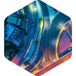
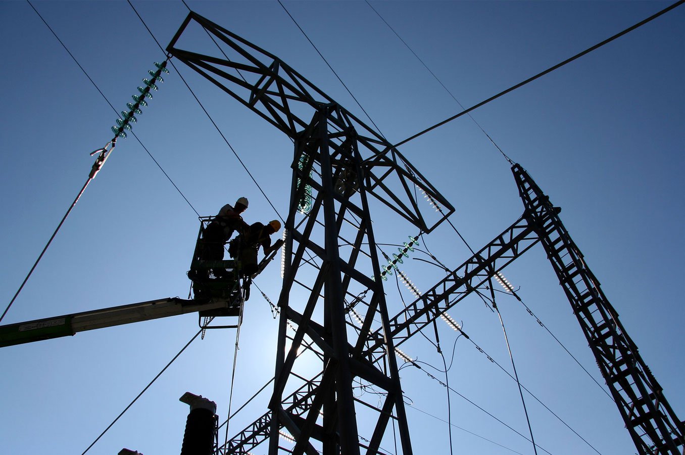
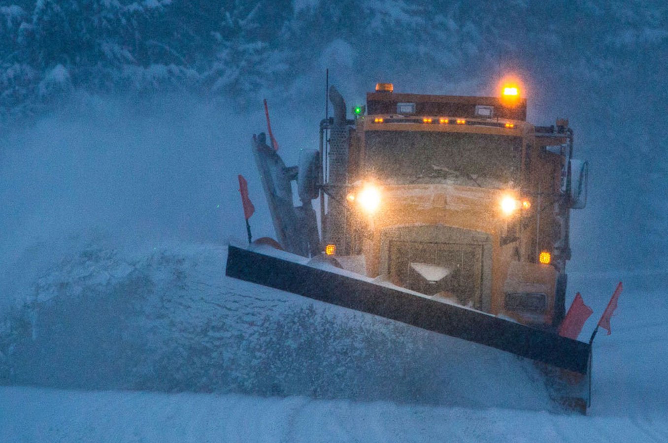
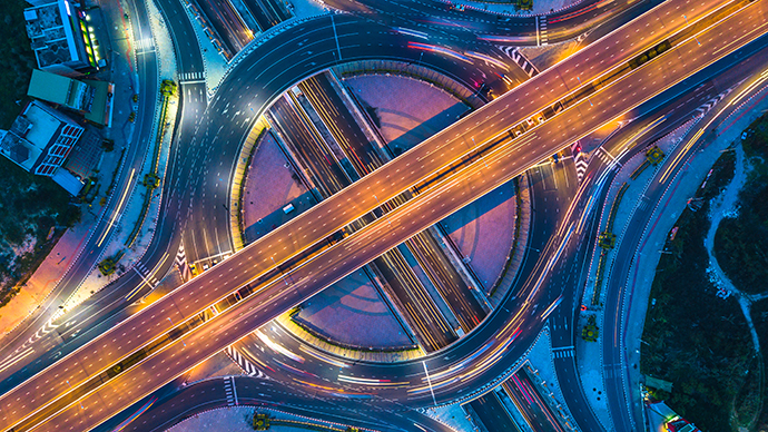
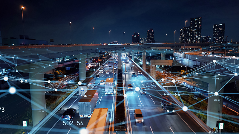
Parempi tilannetietoisuus tien kunnossapidon operaatioissa
Autori tarjoaa markkinoiden ylivoimaisimmat ja monipuolisimmat ohjelmistotyökalut työn- ja omaisuudenhallintaan.
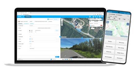
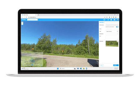
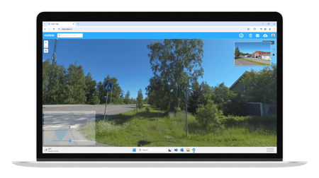
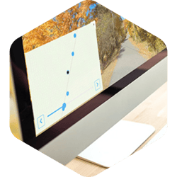
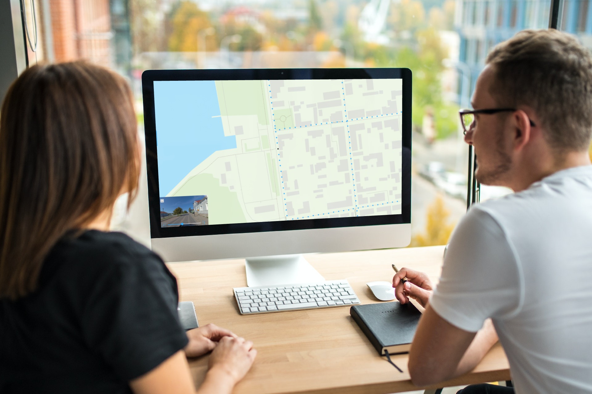
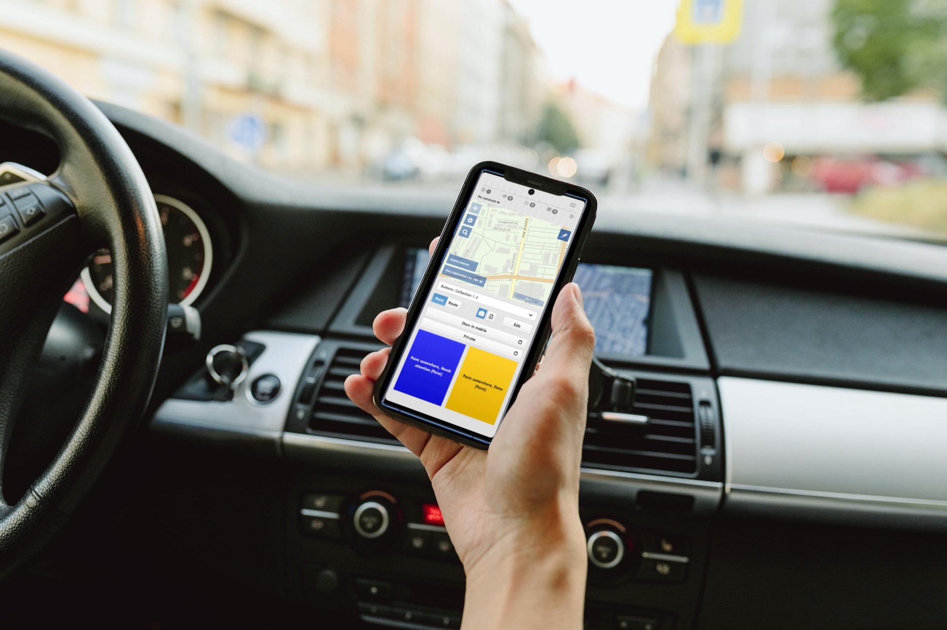
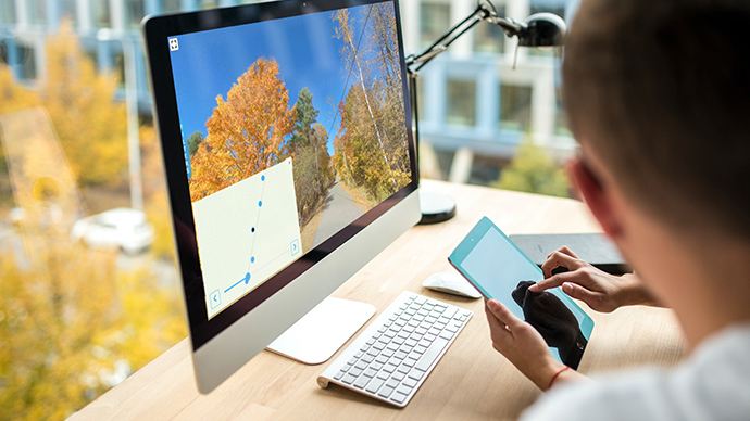
Tien kunnossapitoa kuvien avulla
Olemme tehneet tehtävien luomisesta kuvista helpompaa kuin koskaan ennen.
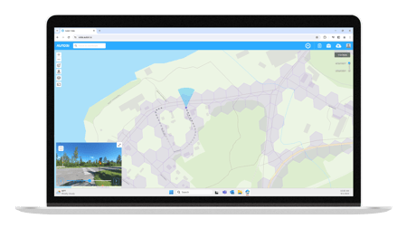
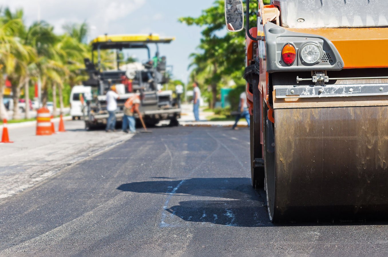
Dokumentoi omaisuutta ja korjaustarpeita visuaalisesti
Edistyksellinen kuvankatseluohjelmamme pystyy käsittelemään useita valokuvatyyppejä.
Vuosikymmenten kokemus tehokkaiden ratkaisujen tarjoamisesta
Kunnossapidon eri toimialoilla vaikuttavien viranomaisten, urakoitsijoiden ja konsulttien suosimat ratkaisut.


